
Show your nature
OutPath is a map made of photos. Each one is taken with the camera inside the app.
Free, no card needed. The Android app is in closed testing and comes to Google Play in Poland and Switzerland soon.

Taken on the spot
Like a hut stamp, a photo on OutPath is collected on the spot, with the camera inside the app.
- The camera opens inside the app. There is no gallery to pick an old photo from.
- The app pins the photo where your phone's location says you took it.
- It only works outdoors, away from built-up areas, and for now only in Poland and Switzerland.
- Make a photo private, and nobody else sees it.
Places worth the walk
Photos taken at the same spot gather into a place with its own page. You can rate it once the app has logged your visit there.
These photos are not from the OutPath map. They come from Wikimedia Commons, and each one names its author. All photo credits
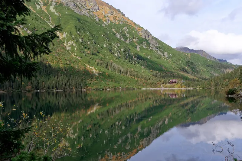
Morskie Oko and the PTTK mountain hut, Tatra Mountains1395 m above sea level.Photo: Jakub Hałun, Wikimedia Commons, CC BY-SA 4.0, cropped 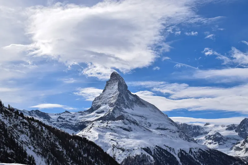
Matterhorn, Valais4478 m above sea level.Photo: Liridon, Wikimedia Commons, CC BY-SA 4.0 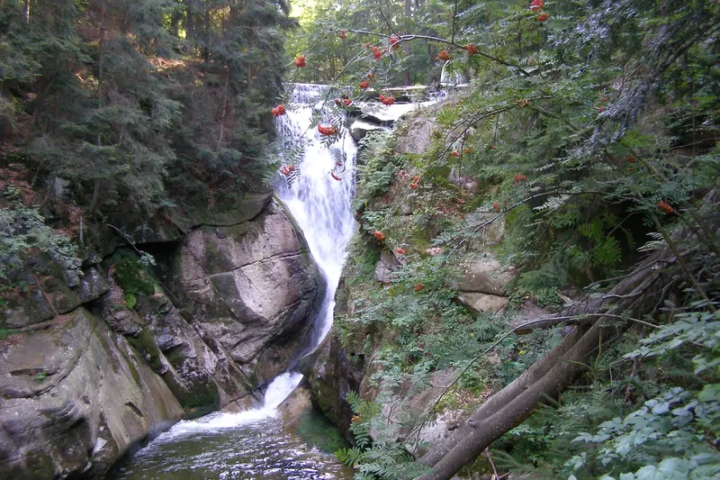
Szklarka Waterfall, Karkonosze525 m above sea level.Photo: Andrzej Otrębski, Wikimedia Commons, CC BY-SA 3.0, cropped 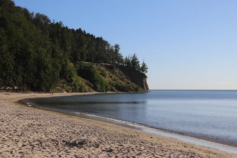
Orłowo Cliff, GdyniaPhoto: Andrzej Otrębski, Wikimedia Commons, CC BY-SA 4.0 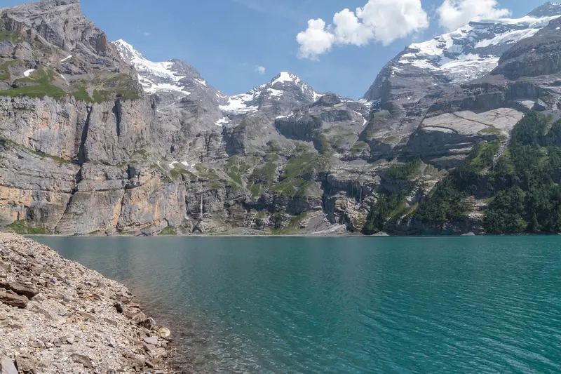
Oeschinensee near Kandersteg, Bernese Oberland1578 m above sea level.Photo: Joachim Kohler (JoachimKohler-HB), Wikimedia Commons, CC BY-SA 4.0 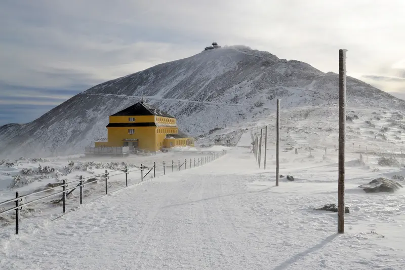
Śnieżka and the Dom Śląski hut in winter, Karkonosze1603 m above sea level.Photo: Marcin Szala (Pudelek), Wikimedia Commons, CC BY-SA 4.0


.JPG)

.jpg)


.jpg)
_in_winter_2020,_Karkonosze_mountains_03.jpg)
The rest gets you there and back
Record the walk
While you record, OutPath measures distance, time, climb and pace, even with the phone in your pack. Standing still adds nothing to the distance.
Plan the route
The planner follows real trails, tracks and quiet roads. You see the climb before you set off.
Maps without signal
Download a region, and the map and the planner keep working where the signal stops. One region is free.
The whole trip
Every outing ends with its full summary: time, distance, pace, climb, calories and the elevation profile. Your history shows distance and time. Premium opens every saved activity in full, earlier ones included, and adds the Statistics screen with totals by week, month and year.
Start with a free account
Create it here, then sign in to the app with the same email address.
Coming soon to Google Play
OutPath is in closed testing. The store link appears here on launch day.